Thursday 18 October 2012

Walk 9 - 4th September 2012 - Highbridge (Burnham-on-Sea, Somerset, England) to Uphill Village (Somerset, England)


Julie at the start of the walk
Andrea at the start of the walk, sporting 'Gunner Sugden' shorts!

Boats moored in the marina by the River Brue


Under the curve of the concrete sea wall looking north to the town of Burnham-on-Sea.


Small but perfectly formed
The start of our walk at the Apex Leisure and Wildlife Park, Highbridge, once the site of the brick and tile works of Colthurst, Symons and Company and The Apex Tile Company.


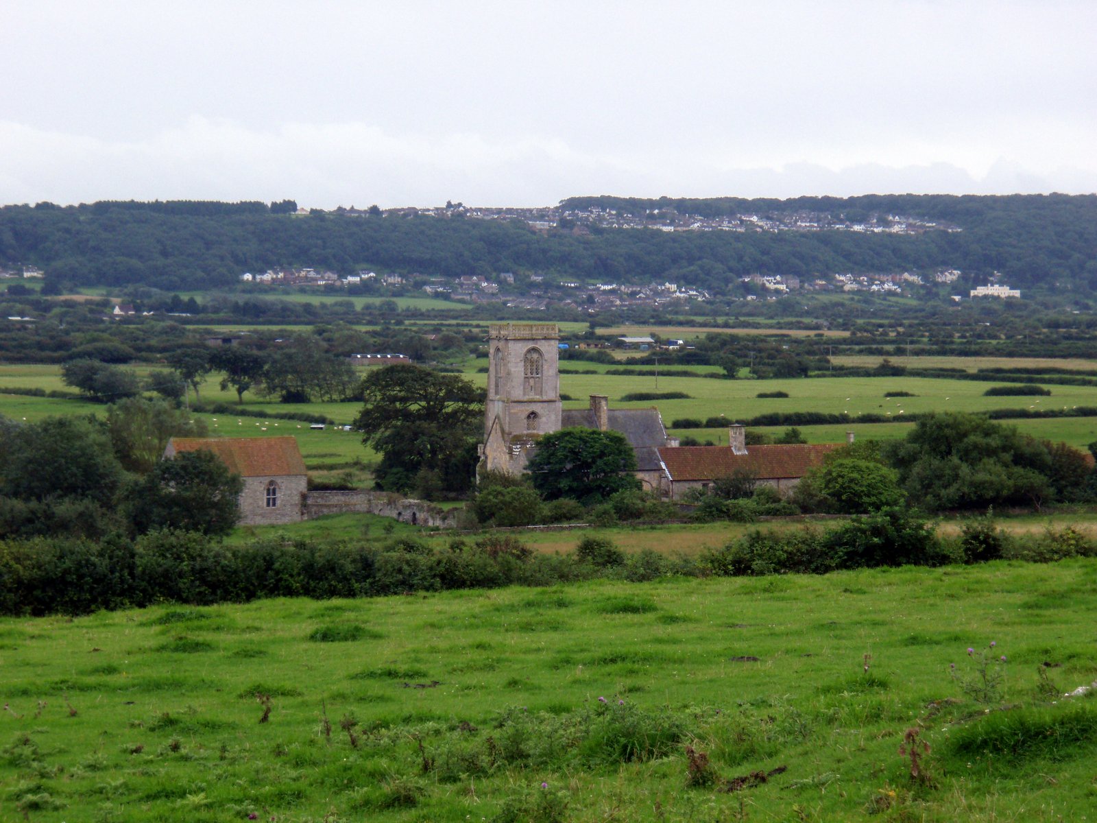
From the park we walked along the banks of the River Brue, to the point where it joins the River Parret, which in turn empties into Bridgewater Bay. 


Onwards to the beach at Burnham-on-Sea, with the first glimpse of the pier in the North. This pier is officially the shortest pier in Great Britain!


Looking North to the town of Burnham-on-Sea, with the concrete sea wall, completed in 1988, on the left.  


The white roof of the shortest pier in Great Britain coming into view.


 The pier in all it's glory! 


A ship wreck revealed by the low tide at Gore Sands.


At Berrow Sands we came across a group of model aircraft enthusiasts, who came annually from all parts of the country to fly their 'planes on the flats.  


 The dunes have been subject to conservation work, which has included the planting of Sea Buckthorn and Marram grass to further prevent the erosion of the dunes.  


 We passed these beautiful horses taking a break after a gallop up the sands! 


 At this point in the proceedings a little foolishness. Please meet the third member of our walking party. You may recognise him as Piglet! Piglet was rescued from a plight worse than death on Severn Beach. Since then he has accompanied us on every walk, from his special viewing compartment in Andrea's rucksack! 


More horses taking a break as we walk through Brean. 


 Piglet getting ready to climb the steps to Brean Down (well he only has little legs)!! 


  Climbing the steps to Brean Down. 


 Looking South from Brean Down and appreciating the journey we have completed today! 


 Looking to the headland of Brean Down and Brean Down Fort. The earliest recorded settlement at this site is from the Bronze Age. The current buildings date from the 1860's and was constructed to protect the ports of the Bristol Channel. During World War 2 it was rearmed and used for  experimental weapons testing. It has been owned by the National Trust since 2002 and has been renovated, the project costing £431,000.

Some of the magnificent buildings with bovine friends. 
The History of the Fort


Some of the internal spaces


The site was used for the filming of the second episode of the BBC television series Warriors. 

Piglet enjoying a break at Brean Down Fort.


 Walking along the banks of the River Axe, with yachts moored to its banks.


 Julie at the end of our walk at The Diamond Farm Touring Park, near Burnham on Sea. We had planned to finish our walk at Uphill, near Weston-Super-Mare. However the heavily fortified sluice gates of the River Axe, put paid to our plans. 


Friday 12 October 2012

Walk 8 - 29th August 2012 - Wick St Lawrence (Somerset, England) to Uphill Village (Somerset, England)


Julie at the start of our walk near Wick Warth, Woodspring Bay, near Wick St Lawrence


Following the twists and turns of the River Banwell
 Following the twists and turns of the River Banwell
Looking towards Woodspring Priory
Looking down to Woodspring Priory
Beautiful lichen on the walls protecting an ancient field system
Looking North towards St Thomas Head
Looking South towards Middle Hope and the bay where we to enjoy elevenses
Looking back at the bay as we continue south
Sand Bay at Kewstoke looking towards Birnbeck Island
Julie walking along the Sand Bay at Kewstoke
Walking through Weston Woods on the side of Worlebury Hill

Storm clouds gathering over Wales
Storm Clouds over Birnbeck Island
Storm Clouds getting closer


and even closer!
The heavens opened when we reached Weston-Super-M
We took at chance and parked our car near Wick Warth. If you are retracing our steps we would suggest you join the coast further south, by traveling along Collum Lane and parking in the vicinity of Priory at Woodspring.


The beautiful textures left by the water cutting it's way through the landscape, the sunlight accentuating the undulating forms. 


Beautiful Gothic Woodspring Priory founded in the early thirteenth century and dedicated to Thomas Becket. It was once a home to a small community of Victorine Canons. 


After the dissolution of the monasteries, the priory was converted in to farmhouse and is now owned by the Landmark Trust and rented out as holiday accommodation. 


The area around St Thomas Head is a weapons testing site!


This lovely bay, shaped like an oyster shell, was to be the first stop of our walk. The pebbles on the beach had been thrown up by the sea in various collections of sizes and shapes. 


Kewstoke probably gets it's name from the Celtic word 'Kewch' meaning a place of boats. In the past the community relied on fishing and smuggling for their livelihoods. 


In the distance the islands of Steep Holm and Flat Holm can just be seen. 


The beautiful trees of Weston Wood. Worlebury Hill used to be quarried for Calamine, for use in brass manufacture in Tintern. 


As we looked towards Wales we could see dramatic storm clouds forming. Pride comes before a fall - and we were smuggly enjoying incredibly warm sunshine, whilst being buzzed by clouds of dragonflies. On reflection these magnificent winged insects were looking for somewhere to roost and avoid the impending rain!!!


Birnbeck Island and it's piers which were opened on the 5th June 1867. Since then the piers have had a checkered history which is described in detail on the National Piers Society Website 


So the rain finally caught up with us! How dramatic it was - with rainwater flying upwards out of the drains, unable to cope with the deluge. We sought refuge in a wooden chalet cafe opposite Weston Beach and enjoyed a delicious lunch and interesting conversation with owner Harry Constantinou, one time goalkeeper of the Cyprus National Football Team.  


The pier at Weston-Super-Mare
Looking back to Weston from the southern most point of Weston Bay
Weston Bay Yacht Club
Walking towards  the end of our walk!

We took time to walk up the pier and enjoy a well deserved ice cream at it's end. Then a short train ride back to it's entrance.  


Weston-Super-Mare fading into the distance.


The village church atop the cliff at Uphill in the distance, the end of our walk.

Wednesday 3 October 2012

Walk 7 - 8th (or it might have been the 1st) August 2012 - Cheptow (Gwent,Wales ) to Lydney (Gloucestershire, England)


 For some reason these photos haven't loaded as they should and the blog isn't letting me write captions to the right of all of the photos as usual. So have had to make the best of a bad job!


Julie standing at Lydney Station. We had driven from Gloucester and parked at Lydney station and then  caught the train from Lydney to the station at Chepstow  and the start of our walk (see photo below).


After getting off the train at Chepstow we made our way through the streets to the bridge over the River Wye, where we were able to spot Chepstow castle peeping out from behind the trees (see photos below).


A momentous occasion, the first time we have crossed  from one country (Wales) to another (England). We then walked for a considerable distance up the A48 as far as Hollands Grove Farm, 
where we travelled across country, thankfully leaving the busy road behind, to rejoin the River Severn (see below). 


On our walks Julie and I engage in conversation with many people, who are interested in our travels. On this occasion a local gentleman had told us to ignore our maps and follow the rough path at the edge of the river. Throwing all caution to the wind, we decided to follow his advice. The photo on the left shows the path Julie and I took through some banks smothered in summer flowers teaming with bees and insects. So far so good. 

The two following photos show how this path deteriorated and then completely ran out culminating in a Blackthorn thicket! We had to decide whether to retrace our steps, adding several miles onto our walk, or find a way through. Somehow we did find our way through - but it was very difficult and very thorny. Ouch! The moral of the story is always work from your maps and never trust a local (no matter how well intentioned), many years may have passed since they have walked the path they are recommending you take!!!


At last back at Lydney station at the end of a rather arduous walk in places!!!!